Grand Hogback Trail at Rifle Arch

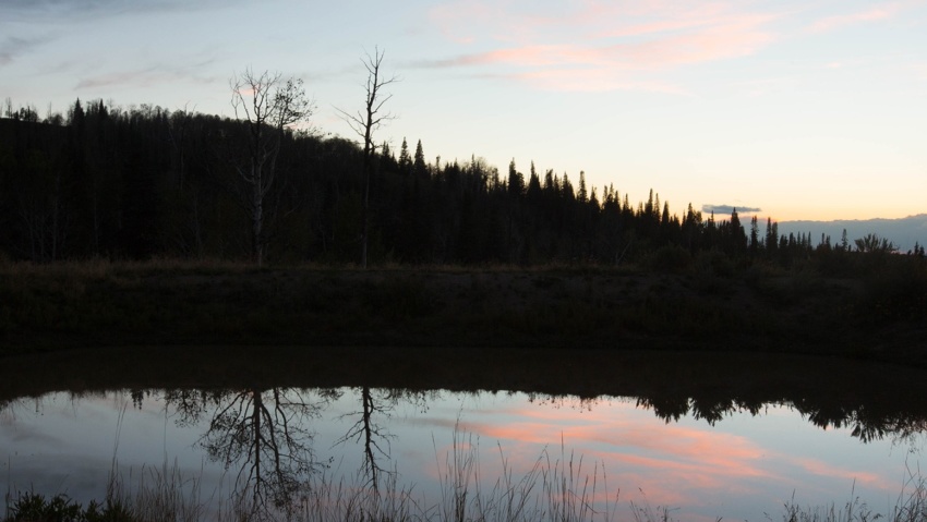
Grand Hogback Trail at Rifle Arch The Grand Hogback Trail at Rifle Arch is located approximately six miles north of Downtown Rifle off Highway 13. When fully complete, the trail system will be over 18-miles long and ideal for beginner, intermediate, and advanced riders. The trail styles feature a mix of singletrack, machine built flow trails, technical rocky trails, and…

Read more

Scenic Drives

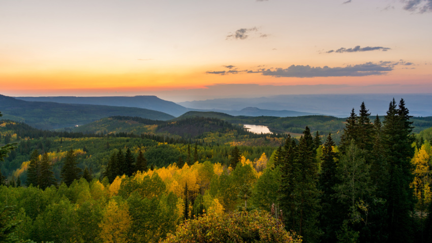
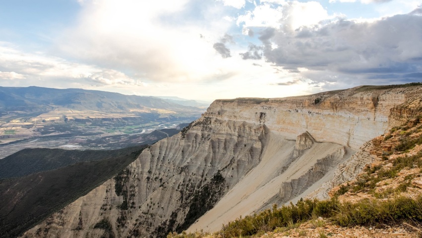
SCENIC DRIVES Explore Rifle and beyond Whether you want to explore the areas immediately surrounding Rifle, or take a day-trip to check out the Flat Tops, Grand Mesa, or Ruedi Reservoir, Rifle is located in the center of the bulls-eye for those looking for scenic drives on Colorado’s Western Slope. RIFLE CREEK VALLEY About 5-minutes north of Downtown Rifle off…

Read more

Golf in Rifle

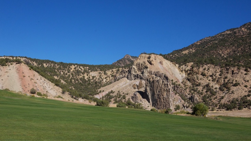
Golf in Rifle Find your course in rifle The beauty of Western Colorado is on full display at the many golf courses throughout the region.  There are three golf courses within a 15-minute drive from Downtown Rifle with additional options in the Roaring Fork Valley, Grand Junction, Vail, and beyond. RIFLE CREEK GOLF COURSE www.riflecreekgc.com Located about six miles north…

Read more

OHV

OHV Rifle’s location at the center of the western slope means immediate access to some of Colorado’s most awesome OHV & ATV trails Hubbard Mesa Recreation Area is one of the Rifle region’s most popular recreational areas and is located just outside the city limits. Additional local OHV trails arefound on the Roan Plateau, Battlement Reservoirs, Flat Tops, and the…

Read more

Fishing

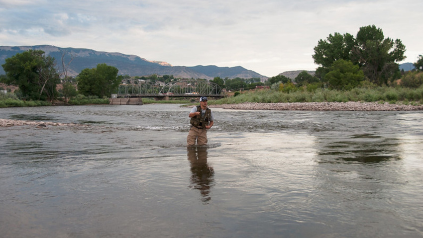
FISHING Fishing Rifle is located in the center of the bulls-eye for some of the best trout fishing in the country.   Rifle sits on the banks of the  Colorado River and although the river is starting to transition to warm-water species as it flows westward past town, there are still large brown and rainbow trout in the immediate area.…

Read more

Rifle Riparian Zone

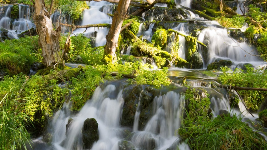
Rifle Riparian Zone https://vimeo.com/500254395%20 The Riparian Zone is located just south of the fish hatchery and features hiking trails, a series of small cascading falls, and beautiful fishing ponds, all along Rifle Creek. Rifle Creek is loaded with trout in this area and wildlife viewing opportunities abound. The hiking trails connect the Rifle Fish Hatchery on the north side of…

Read more

Rifle Gap Dam

Rifle GAP DAM Rifle Gap Dam is about 5 1/2 miles north of Rifle, at a point where Rifle Creek cuts through the Grand Hogback. The dam was built between 1964 and 1967 by the United States Bureau of Reclamation for irrigation water storage. The dam is operated by the Silt Water Conservancy District and creates Rifle Gap Reservoir. The…

Read more

Cow Creek Road

Cow Creek road Cow Creek Road offers an easier, albeit Longer alternate ROute to the JQS Trail for accessing the top of the Roan Plateau. This Cow Creek Road can be accessed by taking Highway 13 North out of Rifle for 18 miles, then taking the Piceance Creek Road (County Road 5) West toward Rangely for 4.5 miles.  The Cow Creek…

Read more

JQS Road

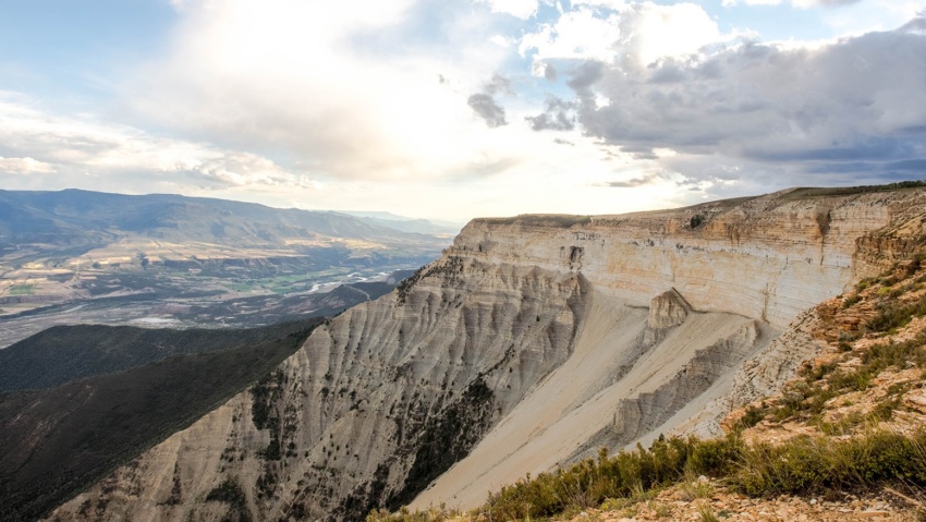
JQS Road 4×4 Recommended The JQS Road is a 7-mile dirt road adventure climbing 3,000 feet up the side of the Bookcliffs to the top of the Roan Plateau. The route is great for OHVs, mountain bikes, and vehicles with 4-wheel drive and high clearance who are willing to brave the extremely narrow, steep, rocky, and potentially treacherous conditions. Near…

Read more

Mamm Peak

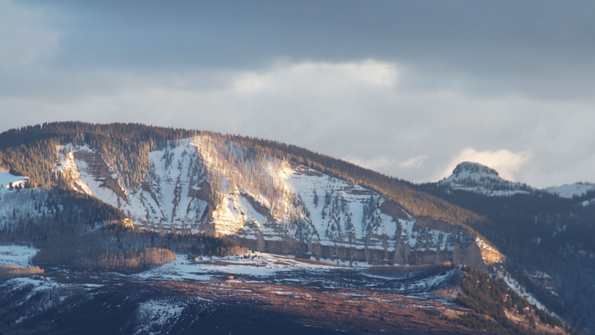
Mamm’s Peak The Mamm Peaks tower majestically 6,000 feet over the Colorado River Valley. They Are the remnants of an ancient volcanic rim There are several rugged peaks along the ridge, including Sugarloaf Mountain, Haystack, Mountain, and North Mamm Peak which tops out an elevation of 11,123 feet.  Each peak is a jumble of volcanic boulders and ancient lava flows…

Read more