Search
Close this search box.

Beaver Creek Trail

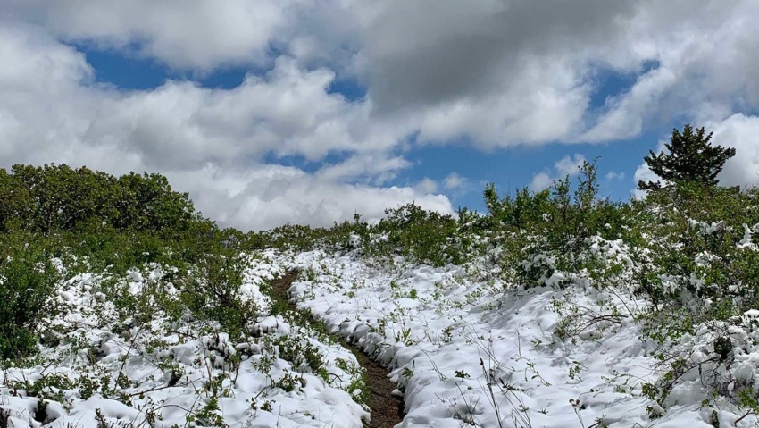
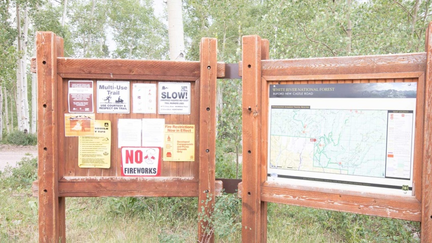
Beaver Creek Trail Beaver Creek Trailhead #2161 is one of the closest Forest Service recreation sites to Rifle, located just 9.5 miles from the roundabout just south of I-70.  It’s a great hike all four season of the year, however, you’ll need snowshoes in the winter months. The trailhead is located 9.4 miles from the roundabout just south of the I-70 overpass.…

Read more

Battlement Trail (Parachute Trailhead)

BATTLEMENT TRAIL(PARACHUTE TRAILHEAD) Battlement trailhead provides access to a 4-wheel drive jeep trail and a hiking/horseback trail to the Battlement Reservoirs. The Battlement Reservoirs are a chain of seven lakes located in a pristine high mountain setting, south of Parachute Colorado. From Rifle, head west on I-70 to Parachute (15 miles) and take exit 75. Turn left and follow County…

Read more

West Rifle Creek State Wildlife Area

West Rifle Creek State Wildlife Area perfect for hunting, hiking and wildlife viewing. West Rifle Creek State Wildlife Area is approximately 1243 acres (1.94 sq. miles or 5.03 sq. kilometers) and ranges from 5,959 ft to 6,835 ft in elevation. The drive along Country Road 252 through this area is a lovely trip into an unspoiled part of the Old…

Read more

Cedar Mountain Area

Cedar Mountain Area Cedar Mountain rises north out of Rifle Gap The area begins at lake level as high desert pinyon-juniper forest. At its top, it features aspen and evergreen forests at 8,200 feet. ATV and 4WD trails criss-cross the area and it is heavily used for hunting in the fall. From the adventurer’s perspective, it is an interesting area…

Read more

West Elk Trailhead & Parking Area

Buford Road Parking Area and Trailhead the West Elk Trailhead, is a popular jumping off point for summer and winter outdoor activities in the Flat Tops From the parking area you can access miles of multi-use trails and roads, including the Cherry Creek Trail and Mansfield Ditch for mountain biking and hiking and a maintained cross-country ski area in the…

Read more

Blair Mountain Trail

Blair Mountain ROAD & Trails Blair Mountain is the highest point of the western Flat Tops with an elevation of 11,400 feet. A hike to the top gives amazing views of the entire Flat Tops. The terrain consists of a high plateau covered in alpine grasslands with occasional stands of spruce or fir.  The west side of Blair Mountain is…

Read more

Rifle Creek Trail

Rifle Creek Trail The Rifle Creek Trail is a 3-mile hard surface trail that is a scenic and convenient walking and biking route through the City of Rifle. The trail begins behind the Brenden Theater in downtown Rifle and follows the creek through Centennial Park, Rifle Middle School, and the Garfield County Fairgrounds. The trail has one unfinished section that…

Read more

Raynard Ditch Trail

Raynard Ditch Trail The Raynard Ditch Trail is a 1-mile long soft-surface trail that hugs the edge of Graham Mesa with great views of Rifle and the Roan Plateau. The south trailhead leaves from the North Pasture neighborhood with two access points off of Anvil View Avenue. The trail quickly enters a natural setting as it skirts below ranchlands with…

Read more

Hubbard Mesa Trailhead

Hubbard Mesa Trailhead How to get to The Hubbard Mesa Trailhead. Take the Rifle By-Pass onto County Road 244 (Fravert Reservoir Road) and then turn right onto County Road 290. Continue on County Road 290 for approximately 1 mile to the parking area where you will find the trailhead. View Real Western Adventure Map View Hubbard Mesa Area

Read more

Grass Valley Road

Grass Valley Road Driving or road-biking on scenic Grass Valley Road takes you through some of the area’s most striking ranchlands. Winding 12 miles from Rifle Gap State Park to the town of New Castle, the road passes Harvey Gap and overlooks miles of green fields in Grass Valley from a high point at 6,400 feet. The Grand Hogback is…

Read more