Search
Close this search box.

Fravert Reservoir

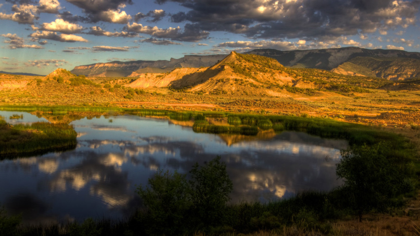
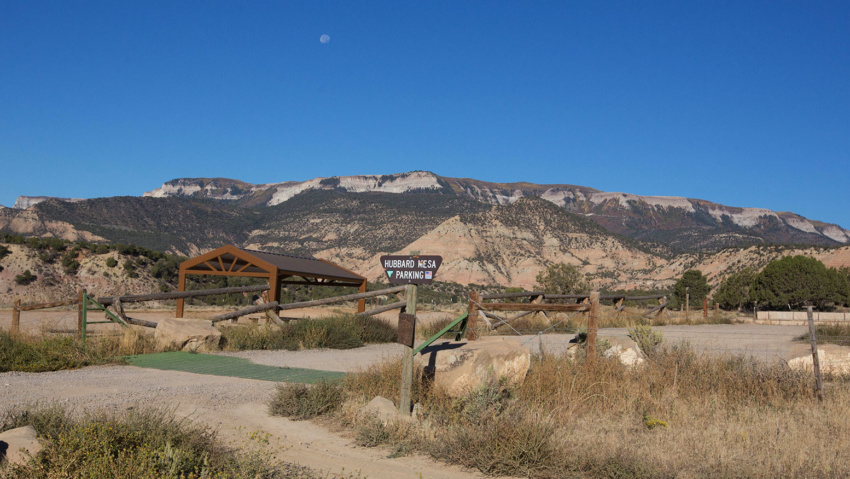
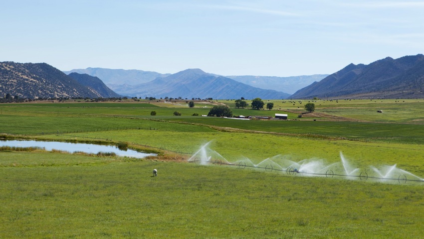
Fravert Reservoir Fravert Reservoir provides a beautiful setting for bird watching beneath the majestic Roan Plateau To reach Fravert Reservoir, visitors will take the Rifle By-Pass onto County Road 244 (Fravert Reservoir Road) where they will find a parking area on the left hand side of the road.  Waterfowl abounds on the reservoir much of the year.  Please obey the…

Read more

Rifle Arch Area

Rifle Arch AREA The Rifle Arch Trail is an easy to moderate hiking trail leading to a stunning sandstone arch formation. Located north of Rifle off of Highway 13. Hikers should head north on Railroad Ave., which becomes Highway 13, for approximately 6.5 miles. You will find the trailhead and parking on the right side of the road at mile…

Read more

Three Forks Trail

Three Forks Trail The Three Forks Trail is a great hike or mountain bike ride close to Rifle Mountain Park. The trail follows a fork of Rifle Creek into aspen and evergreen forests for several miles. It eventually meets up with other trails and jeep roads that lead further into the Flat Tops. To get to the trailhead from Rifle,…

Read more

Lions Pond and Trails

Lions Pond and Trails Lions Pond sits beneath the majestic Roan Plateau and adjacent to the Colorado River. Lions Pond is located right off of I-70 at Exit 90 in Rifle. Originally, the pond was a gravel pit that was created in the early 70’s when the interstate was being built. Visitors are encouraged to spend the day fishing for…

Read more

West Rifle Creek State Wildlife Area

West Rifle Creek State Wildlife Area perfect for hunting, hiking and wildlife viewing. West Rifle Creek State Wildlife Area is approximately 1243 acres (1.94 sq. miles or 5.03 sq. kilometers) and ranges from 5,959 ft to 6,835 ft in elevation. The drive along Country Road 252 through this area is a lovely trip into an unspoiled part of the Old…

Read more

West Elk Trailhead & Parking Area

Buford Road Parking Area and Trailhead the West Elk Trailhead, is a popular jumping off point for summer and winter outdoor activities in the Flat Tops From the parking area you can access miles of multi-use trails and roads, including the Cherry Creek Trail and Mansfield Ditch for mountain biking and hiking and a maintained cross-country ski area in the…

Read more

Rifle Creek Trail

Rifle Creek Trail The Rifle Creek Trail is a 3-mile hard surface trail that is a scenic and convenient walking and biking route through the City of Rifle. The trail begins behind the Brenden Theater in downtown Rifle and follows the creek through Centennial Park, Rifle Middle School, and the Garfield County Fairgrounds. The trail has one unfinished section that…

Read more

Raynard Ditch Trail

Raynard Ditch Trail The Raynard Ditch Trail is a 1-mile long soft-surface trail that hugs the edge of Graham Mesa with great views of Rifle and the Roan Plateau. The south trailhead leaves from the North Pasture neighborhood with two access points off of Anvil View Avenue. The trail quickly enters a natural setting as it skirts below ranchlands with…

Read more

Hubbard Mesa Trailhead

Hubbard Mesa Trailhead How to get to The Hubbard Mesa Trailhead. Take the Rifle By-Pass onto County Road 244 (Fravert Reservoir Road) and then turn right onto County Road 290. Continue on County Road 290 for approximately 1 mile to the parking area where you will find the trailhead. View Real Western Adventure Map View Hubbard Mesa Area

Read more

Grass Valley Road

Grass Valley Road Driving or road-biking on scenic Grass Valley Road takes you through some of the area’s most striking ranchlands. Winding 12 miles from Rifle Gap State Park to the town of New Castle, the road passes Harvey Gap and overlooks miles of green fields in Grass Valley from a high point at 6,400 feet. The Grand Hogback is…

Read more