Search
Close this search box.

Scenic Drives

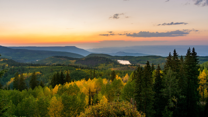
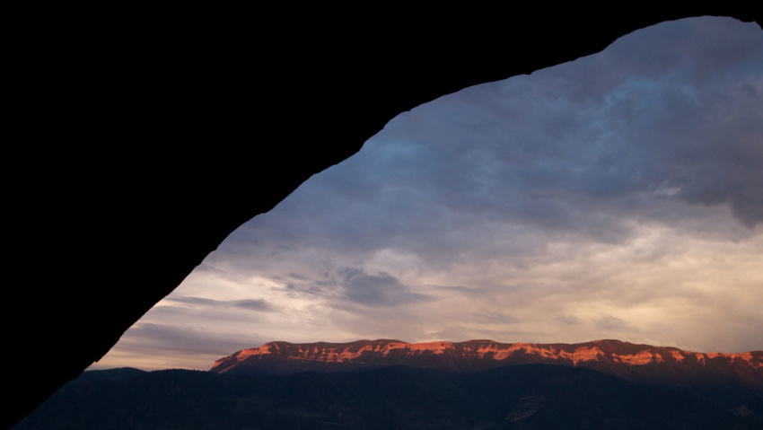
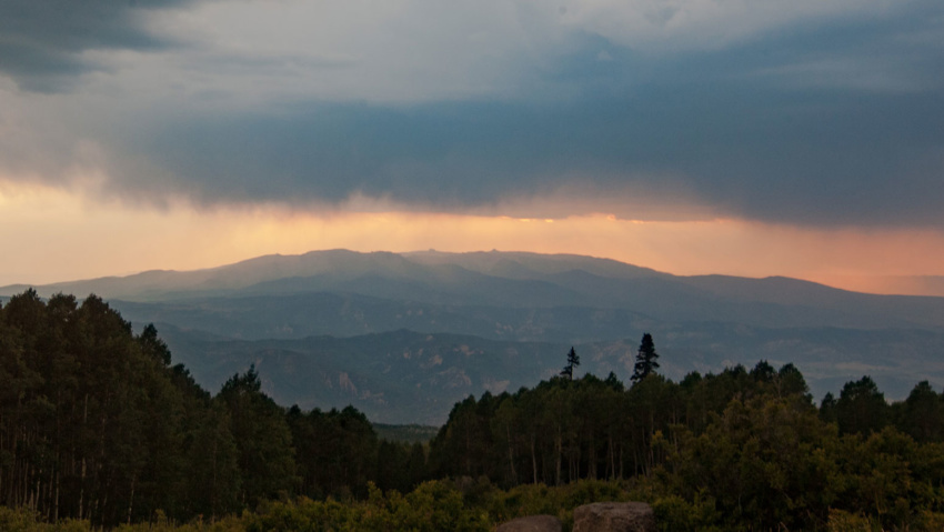
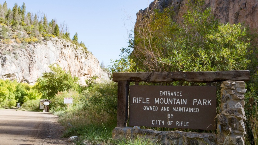
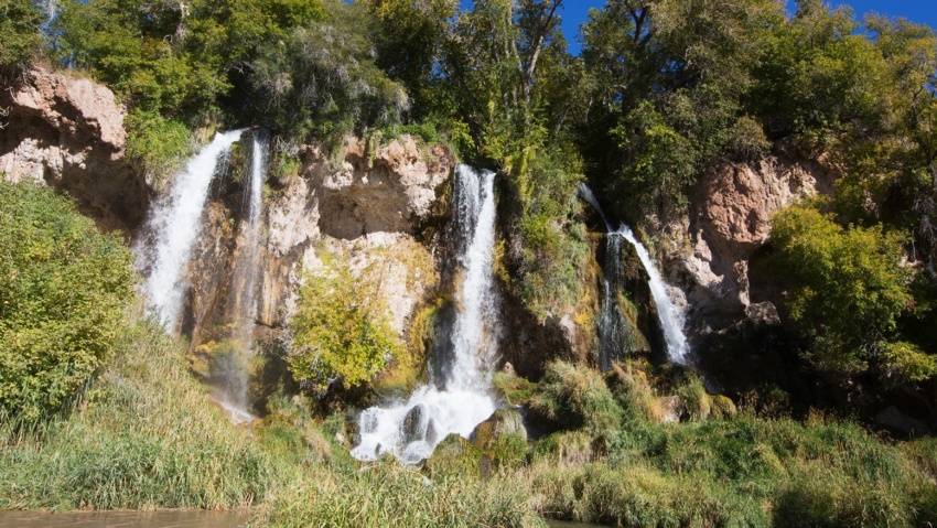
SCENIC DRIVES Explore Rifle and beyond Whether you want to explore the areas immediately surrounding Rifle, or take a day-trip to check out the Flat Tops, Grand Mesa, or Ruedi Reservoir, Rifle is located in the center of the bulls-eye for those looking for scenic drives on Colorado’s Western Slope. RIFLE CREEK VALLEY About 5-minutes north of Downtown Rifle off…

Read more

Rifle Riparian Zone

Rifle Riparian Zone https://vimeo.com/500254395%20 The Riparian Zone is located just south of the fish hatchery and features hiking trails, a series of small cascading falls, and beautiful fishing ponds, all along Rifle Creek. Rifle Creek is loaded with trout in this area and wildlife viewing opportunities abound. The hiking trails connect the Rifle Fish Hatchery on the north side of…

Read more

Rifle Gap Dam

Rifle GAP DAM Rifle Gap Dam is about 5 1/2 miles north of Rifle, at a point where Rifle Creek cuts through the Grand Hogback. The dam was built between 1964 and 1967 by the United States Bureau of Reclamation for irrigation water storage. The dam is operated by the Silt Water Conservancy District and creates Rifle Gap Reservoir. The…

Read more

The Flat Tops

THE Flat Tops The region is a high plateau filled with forests, meadows, hills, canyons, valleys, and spectacular views of DISTANT mountain ranges. The name Flat Tops refers to a large region of the White River National Forest northeast of Rifle.  Contrary to their name, the western Flat Tops nearest Rifle are not actually flat. More accessible than its wilderness…

Read more

Roan Plateau Area

Roan Plateau Area The Roan Plateau rises 4,000 feet above the Colorado River Valley. From Rifle, the view of the Roan Plateau is the imposing Bookcliffs and Anvil Points. A drive or bike ride up to the top of the plateau offers so much more. The top of the Roan a wonderland of stunning views, deep canyons, waterfalls, aspen forests,…

Read more

Hubbard Mesa Recreation Area

Hubbard Mesa Hubbard Mesa is a 2,480-acre colorful desert landscape of mesas and rock hoodoos at the base of the Roan Plateau. Visitors are greeted with 50 miles of single track, ATV, and jeep trails. This means that when it comes to recreation, if you can dream it you can (mostly) do it. Just be safe out there adventurers! Hubbard…

Read more

Rifle Arch Area

Rifle Arch AREA The Rifle Arch Trail is an easy to moderate hiking trail leading to a stunning sandstone arch formation. Located north of Rifle off of Highway 13. Hikers should head north on Railroad Ave., which becomes Highway 13, for approximately 6.5 miles. You will find the trailhead and parking on the right side of the road at mile…

Read more

The Mamm Peaks

The Mamm Peaks The Mamm Peaks are located approximately 8 miles south of Rifle in the White River National Forest. They can be accessed from a number of different points. From the west, visitors can access the Mamm Peak roadless area and the Battlement Reservoirs via Interstate 70 at Parachute. Cross the Colorado River on Garfield County Road (CR) 300…

Read more

Rifle Mountain Park

RIFLE MOUNTAIN PARK NOTICE: Rifle Mountain Park Closed Due to Flooding May 18, 2023 Learn More The beautiful canyon of Rifle Mountain Park has long drawn crowds. Those looking to escape the heat of the lower plains come and enjoy the adventure in the picturesque setting of this rugged place. Modern climbing was introduced to the area in the mid…

Read more

Rifle Falls State Park

Rifle Falls State Park Visitors from around the world flock to the three spectacular 70 foot waterfalls that are the focal point of this idyllic state park In addition to the waterfalls, the area boasts numerous limestone caves for exploring, three hiking trails which meander along the creek, and trout fishing in Rifle Creek. The Park has 13 drive-in and…

Read more