Search
Close this search box.

Rifle Gap Dam

Rifle GAP DAM Rifle Gap Dam is about 5 1/2 miles north of Rifle, at a point where Rifle Creek cuts through the Grand Hogback. The dam was built between 1964 and 1967 by the United States Bureau of Reclamation for irrigation water storage. The dam is operated by the Silt Water Conservancy District and creates Rifle Gap Reservoir. The…


Read more

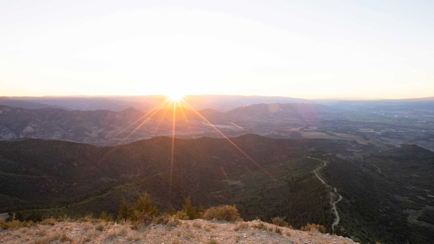
Mamm Peak

Mamm’s Peak The Mamm Peaks tower majestically 6,000 feet over the Colorado River Valley. They Are the remnants of an ancient volcanic rim There are several rugged peaks along the ridge, including Sugarloaf Mountain, Haystack, Mountain, and North Mamm Peak which tops out an elevation of 11,123 feet.  Each peak is a jumble of volcanic boulders and ancient lava flows…

Read more

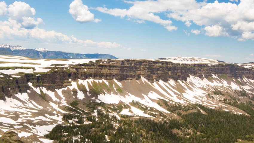
The Flat Tops

THE Flat Tops The region is a high plateau filled with forests, meadows, hills, canyons, valleys, and spectacular views of DISTANT mountain ranges. The name Flat Tops refers to a large region of the White River National Forest northeast of Rifle.  Contrary to their name, the western Flat Tops nearest Rifle are not actually flat. More accessible than its wilderness…

Read more

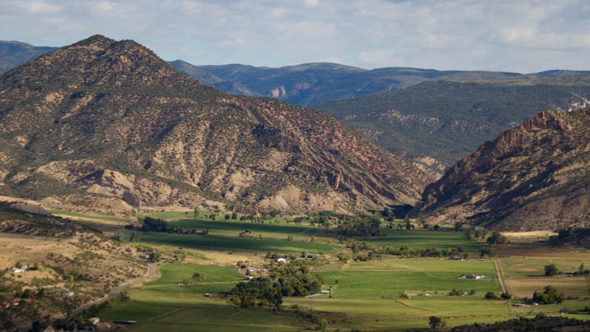
Rifle Creek Valley

Rifle Creek Valley Follow Rifle Creek as it spills out of the Flat Tops and into the ranchlands and communities below. This trip highlights the best of Rifle. And bring your toys! With three State Parks (Rifle Falls, Rifle Gap, and Harvey Gap) Rifle Mountain Park, Rifle Creek Golf Course, and endless BLM and Forest Service lands, you can spend…

Read more

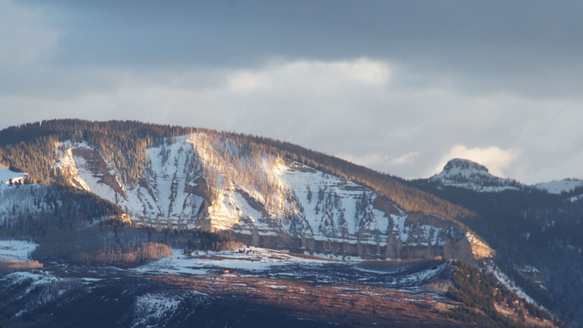
Roan Plateau Area

Roan Plateau Area The Roan Plateau rises 4,000 feet above the Colorado River Valley. From Rifle, the view of the Roan Plateau is the imposing Bookcliffs and Anvil Points. A drive or bike ride up to the top of the plateau offers so much more. The top of the Roan a wonderland of stunning views, deep canyons, waterfalls, aspen forests,…

Read more

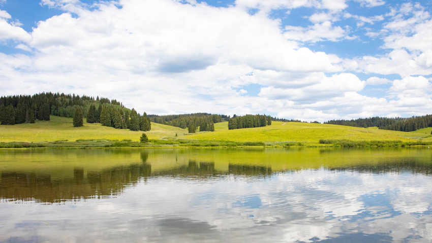
Meadow Lake

Meadow Lake A Beautiful Destination in the Flat Tops Meadow Lake is about a 1 1/2 hour drive from New Castle on the Buford Road (CR 245). The campground is on the northwest side of the lake. Fishing is available with a valid Colorado fishing license. This area is a popular ATV basecamp for trips throughout the Flat Tops. No…

Read more

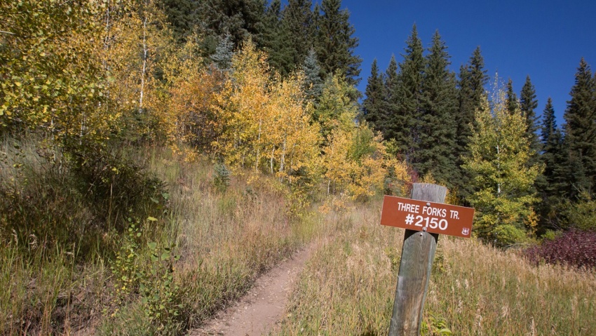
Three Forks Trail

Three Forks Trail The Three Forks Trail is a great hike or mountain bike ride close to Rifle Mountain Park. The trail follows a fork of Rifle Creek into aspen and evergreen forests for several miles. It eventually meets up with other trails and jeep roads that lead further into the Flat Tops. To get to the trailhead from Rifle,…

Read more

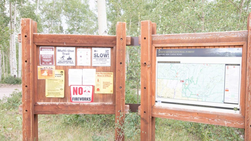
West Elk Trailhead & Parking Area

Buford Road Parking Area and Trailhead the West Elk Trailhead, is a popular jumping off point for summer and winter outdoor activities in the Flat Tops From the parking area you can access miles of multi-use trails and roads, including the Cherry Creek Trail and Mansfield Ditch for mountain biking and hiking and a maintained cross-country ski area in the…

Read more

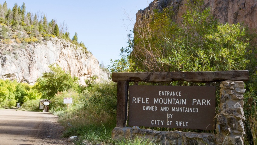
Rifle Mountain Park

RIFLE MOUNTAIN PARK NOTICE: Rifle Mountain Park Closed Due to Flooding May 18, 2023 Learn More The beautiful canyon of Rifle Mountain Park has long drawn crowds. Those looking to escape the heat of the lower plains come and enjoy the adventure in the picturesque setting of this rugged place. Modern climbing was introduced to the area in the mid…

Read more

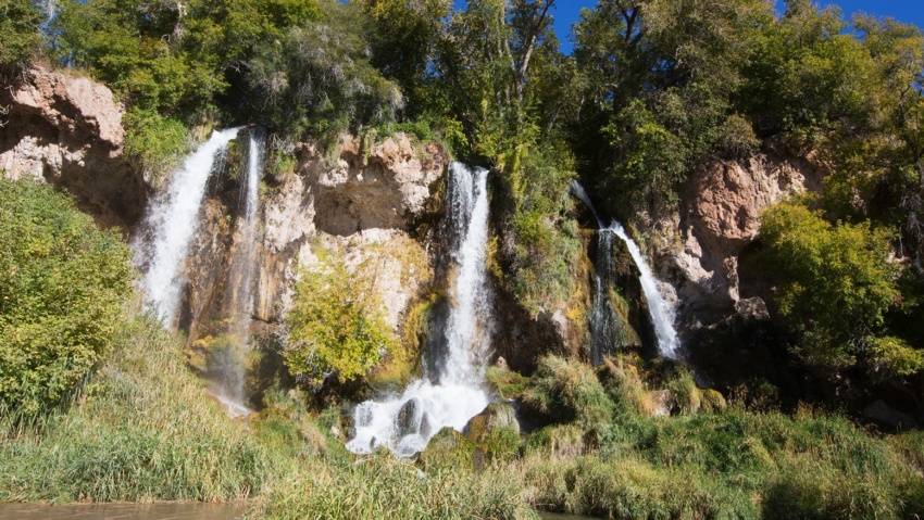
Rifle Falls State Park

Rifle Falls State Park Visitors from around the world flock to the three spectacular 70 foot waterfalls that are the focal point of this idyllic state park In addition to the waterfalls, the area boasts numerous limestone caves for exploring, three hiking trails which meander along the creek, and trout fishing in Rifle Creek. The Park has 13 drive-in and…

Read more